Three Ancient Rivers, Long Buried by the Sahara, Created a Passage to the Mediterranean

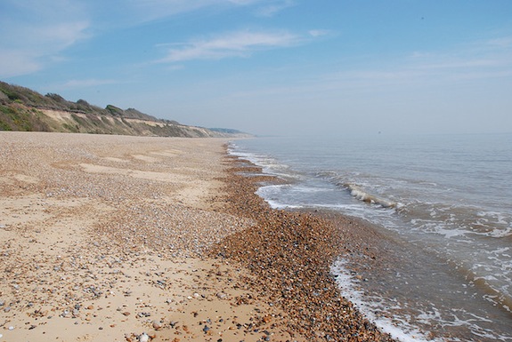
Photo: mtsrs
Around 130,000 to 100,000 years ago the Sahara desert was not the sea of sands it is today. Instead, three large rivers created green corridors that linked sub-Saharan Africa to the Mediterranean and could have provided a safe means of passage for migrating ancient humans, according to a new study.
Authors of a new PLoS One study simulated ancient rainfall and water patterns using a state-of-the-art computer climate model. This allowed them to peer into the palaeohydrology of around 12 million square kilometers of desert. The models revealed three ancient rivers that today are largely buried beneath the dunes. io9 describes the ancient landscape:
Much like the Nile, these rivers would have created narrow stretches of nutrient-rich soil, producing “green corridors” that would have allowed animals and plants to prosper in the otherwise inhospitable desert. What’s more, the simulations suggest the likely presence of “massive lagoons and wetlands” in what is now northeastern Libya, covering an estimated 27,000 square miles.
The study authors suspect these watery highways played a significant role in human migration. They write:
Whilst we cannot state for certain that humans migrated alongside these rivers, the shape of the drainage systems indicate that anyone moving from south to north from a 2000 km wide region in the mountains would be funnelled into three clear routes.
One river system, called the Irharhar, appears to have been a particularly popular travel route. Middle Stone Age artifacts have already turned up along that extinct waterway, and more likely await discovery. “It is likely that further surveys in this area will provide substantial evidence of Middle Stone Age activity, especially in the areas of buried palaeochannels,” the authors say.
More from Smithsonian.com:
Green Sahara May Have Provided Route out of Africa for Early Humans
A Ghostly Scream from the Sahara
From:
Three Ancient Rivers, Long Buried by the Sahara, Created a Passage to the Mediterranean


